5 Articles
Tags :3D Visualization

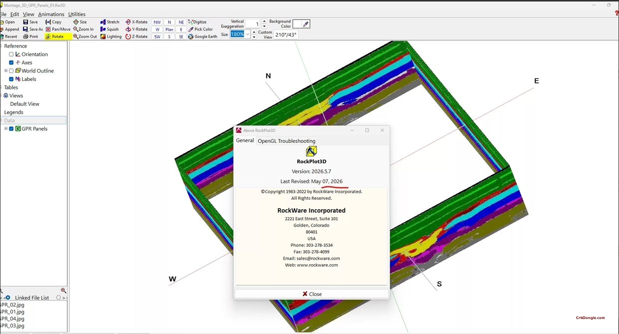
RockWorks 2026: Geological Data Management, Analysis & Visualization Software RockWorks 2026 is the latest version of RockWare’s comprehensive geological software suite for subsurface data management, analysis, and 3D visualization. This release focuses on workflow consolidation, multi-threaded performance optimization, and enhanced automation capabilities . Key New Features in RockWorks 2026 Contour Setting Consolidation Contour and color-fill settings have been merged into a single configuration. 2D and 3D grid maps created from the same menu now share unified settings instead of separate configurations. When opening older projects, RockWorks automatically detects and updates the project INI file and playlists, with backup files saved in a Backup folder . Fault Setting Consolidation All fault-related settings (used for grids, solid models, and 2D/3D maps) are...
Intrepid v6.5: Geophysical Data Processing & Interpretation Software Intrepid v6.5 is an integrated software suite from Intrepid Geophysics, with specialized modules for processing, interpreting, and visualizing airborne, ground, and marine geophysical data, including magnetics, gravity, and radiometrics. Version 6.5.1 is the latest build, released on March 5, 2026 . Core Capabilities Data Processing & Corrections Geophysical Corrections: Dedicated tools for gravity, magnetic, and radiometric data calibration Airborne Data Leveling: Tie-line leveling, micro-leveling, and destriping Filtering: Line-based and grid-based filters (FFT, convolution) Gridding & Visualization Advanced Gridding: Variable-density gridding algorithms, grid gradient calculation, intelligent grid merging 3D Visualization: Data plotting, composite map generation, 3D scene inspection Tensor Data Processing Full Tensor Gravity Gradiometry (FTG) and Falcon system data editing, filtering, leveling,...
FARO SCENE 2026.1: Laser Scanning Point Cloud Software SCENE 2026.1 is FARO’s latest 3D laser scanning software for processing and registering point cloud data from FARO Focus, Freestyle, and Orbis scanners, released May 8, 2026 . Key Features Registration & Processing Hybrid Registration: Combine cloud-to-cloud, target-based, and control point methods Interactive Visualization: Visualize scan links and manually control registration Data Cleaning: Noise removal and point cloud optimization Export & Integration Multiple Formats: Export to E57, LAS, RCP for CAD/BIM workflows 3D Mesh Generation: Watertight mesh export to STL, OBJ, PLY, WRL Collaboration & Visualization WebShare Cloud: Secure project sharing and collaboration VR View: Experience captured data in virtual reality
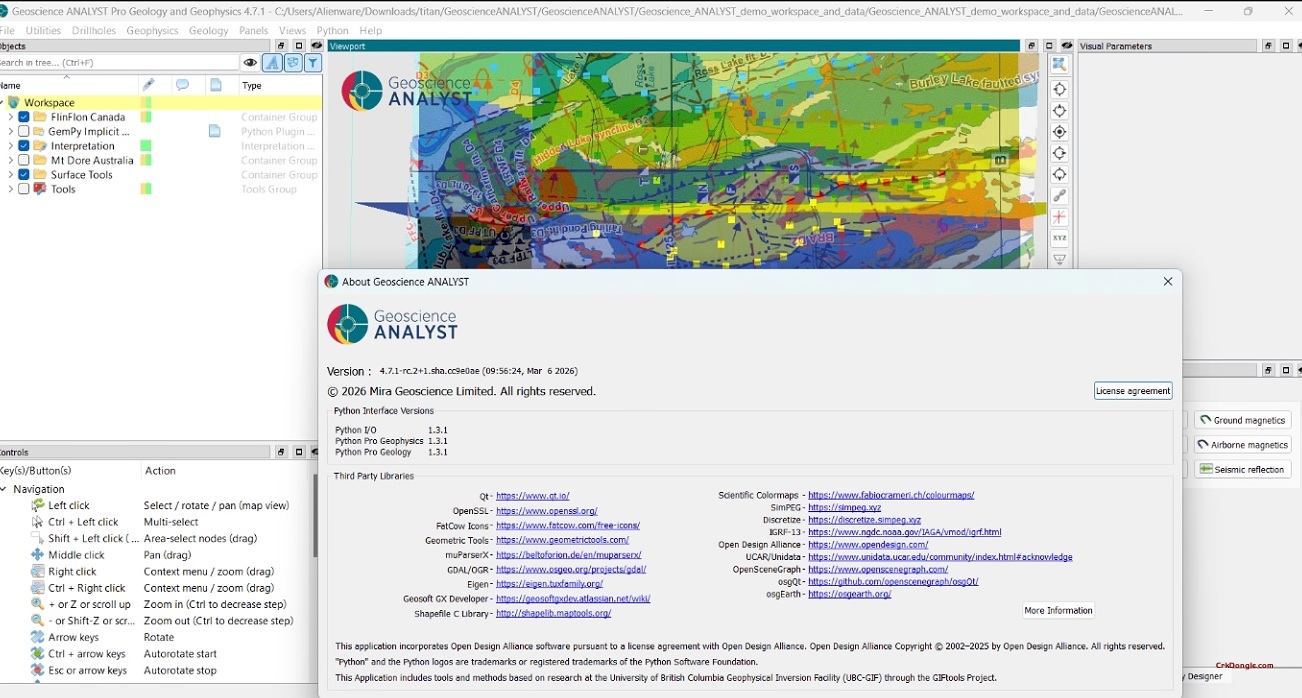
Geoscience ANALYST Pro 4.7.1: Advanced 3D Geological Modelling & Interpretation Geoscience ANALYST Pro 4.7.1 is the latest professional version of Mira Geoscience’s powerful 3D visualization and modelling software, designed for geoscientists working with complex geological and geophysical data. This release builds on the 4.7 platform with enhanced data classification, improved modelling workflows, and significant performance optimizations . Key Features in Geoscience ANALYST Pro 4.7.1 Advanced Data Classification and Processing Numeric Data Classification: New tools for classifying numeric datasets, enabling more sophisticated data preparation and analysis workflows directly within the Pro version Reference Dataset Reclassification: Enhanced capabilities to reclassify reference datasets for streamlined interpretation and modelling Data Transfer Between Objects: Seamlessly transfer data between different object types for integrated workflows Accelerated...
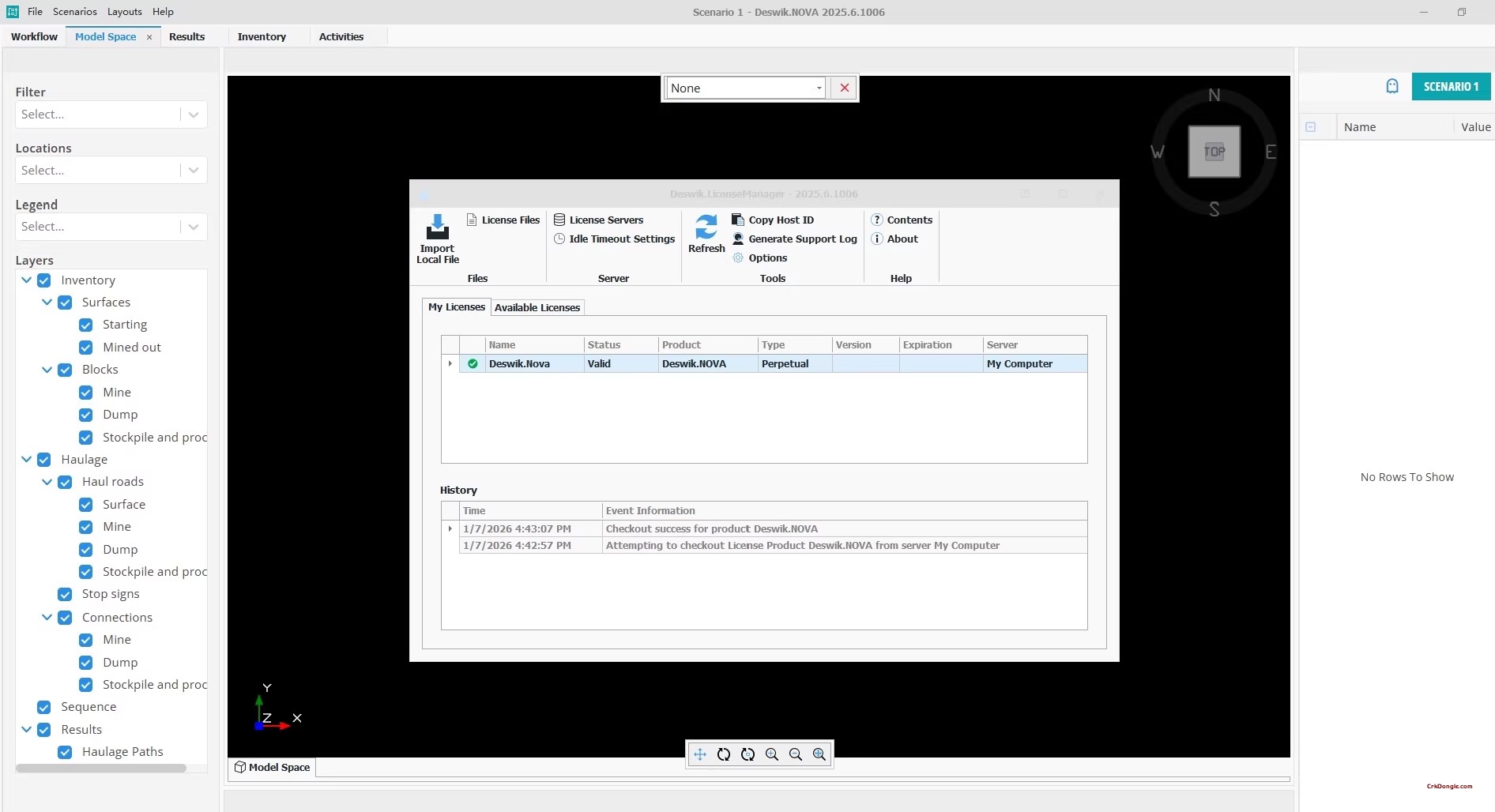
eswik Nova 2025.6 | Underground Mine Design & Planning Software Deswik Nova 2025.6 is a specialized, intuitive software module within the Deswik Suite focused on the design and scheduling of underground mining operations. It provides mining engineers with powerful tools for creating detailed underground mine designs, developing practical schedules, and visualizing the mining sequence in 3D. Core Functionality Overview: Detailed Underground Mine Design: Features robust tools for designing and modeling underground excavations, including stopes, drives, ramps, ore passes, and ventilation infrastructure. Interactive Scheduling & Sequence Visualization: Allows engineers to build and visualize the mining sequence interactively in 3D, linking design elements to a schedule and calculating associated tonnages and grades. Integrated Design & Schedule Analysis: Enables quick evaluation of different...