5 Articles
Tags :mineral-exploration

Intrepid v6.5: Geophysical Data Processing & Interpretation Software Intrepid v6.5 is an integrated software suite from Intrepid Geophysics, with specialized modules for processing, interpreting, and visualizing airborne, ground, and marine geophysical data, including magnetics, gravity, and radiometrics. Version 6.5.1 is the latest build, released on March 5, 2026 . Core Capabilities Data Processing & Corrections Geophysical Corrections: Dedicated tools for gravity, magnetic, and radiometric data calibration Airborne Data Leveling: Tie-line leveling, micro-leveling, and destriping Filtering: Line-based and grid-based filters (FFT, convolution) Gridding & Visualization Advanced Gridding: Variable-density gridding algorithms, grid gradient calculation, intelligent grid merging 3D Visualization: Data plotting, composite map generation, 3D scene inspection Tensor Data Processing Full Tensor Gravity Gradiometry (FTG) and Falcon system data editing, filtering, leveling,...
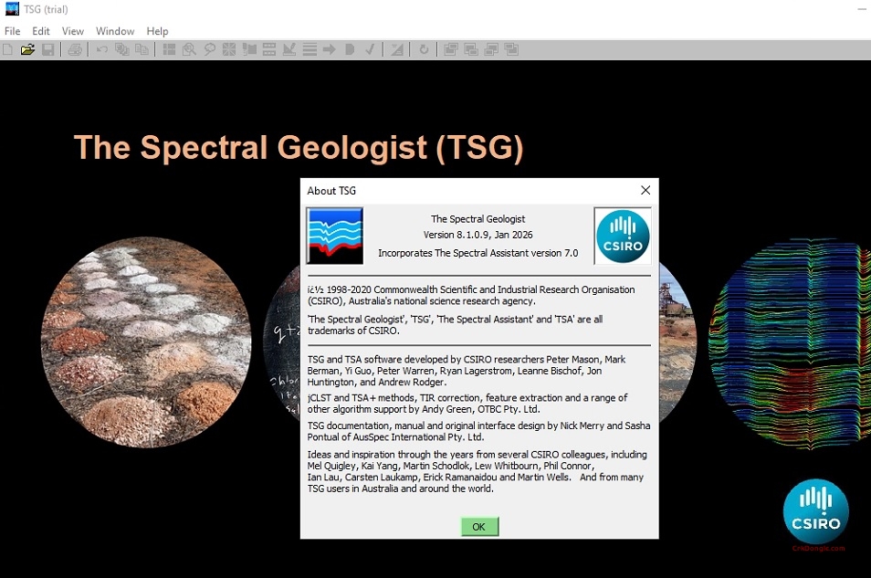
The Spectral Geologist (TSG 8): Professional Hyperspectral Data Analysis Software TSG 8 is the industry-standard software for processing, analyzing, and visualizing hyperspectral data in geological applications. Developed through years of CSIRO research, it is widely used in mineral exploration, mining operations, and academic research for spectral analysis of drill core, chip trays, and remote sensing data . Key Features Integrated Project File Structure Unified Data Management: Organize all spectral data (from tens to thousands of spectra) into a single TSG file structure Holistic Analysis: Store spectral data alongside ancillary geological data (assay results, lithology, depth) in data slots Project-Based Workflow: Each file can contain spectra from a single drill hole or an entire project area, enabling contextual analysis of alteration...
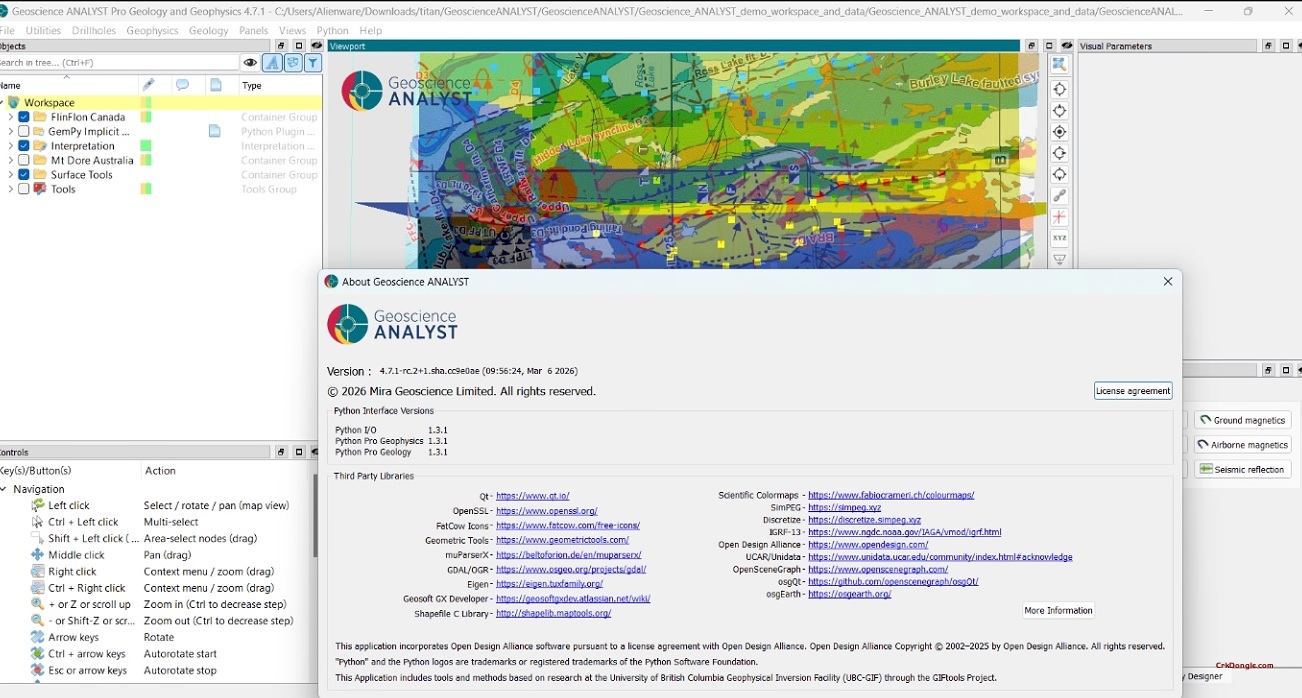
Geoscience ANALYST Pro 4.7.1: Advanced 3D Geological Modelling & Interpretation Geoscience ANALYST Pro 4.7.1 is the latest professional version of Mira Geoscience’s powerful 3D visualization and modelling software, designed for geoscientists working with complex geological and geophysical data. This release builds on the 4.7 platform with enhanced data classification, improved modelling workflows, and significant performance optimizations . Key Features in Geoscience ANALYST Pro 4.7.1 Advanced Data Classification and Processing Numeric Data Classification: New tools for classifying numeric datasets, enabling more sophisticated data preparation and analysis workflows directly within the Pro version Reference Dataset Reclassification: Enhanced capabilities to reclassify reference datasets for streamlined interpretation and modelling Data Transfer Between Objects: Seamlessly transfer data between different object types for integrated workflows Accelerated...
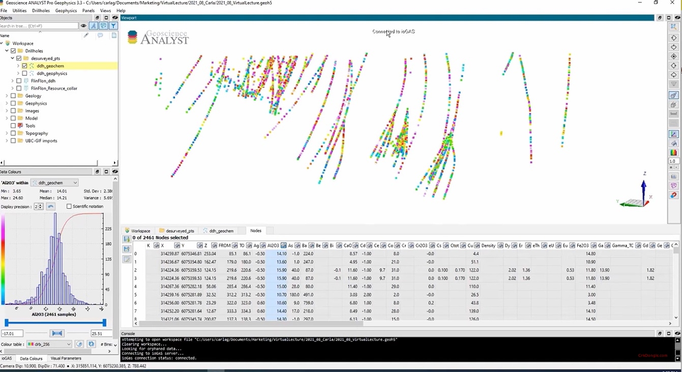
ioAnalytics ioGAS 8.3: The Definitive Software for Exploration Geochemistry ioAnalytics ioGAS 8.3 is a specialized desktop application designed for the comprehensive visualization, analysis, and interpretation of geochemical data in mineral exploration. It provides geologists, geochemists, and data scientists with an intuitive, yet powerful, toolkit to transform raw multi-element assay data from soil, rock, and drillhole samples into meaningful geological insights, helping to identify subtle anomalies and vector toward mineral deposits. Core Function: Visual Data Discovery for Exploration Decisions The software’s core strength is its interactive, graphics-driven approach to data analysis. Instead of relying solely on statistics, ioGAS emphasizes rapid visual interrogation through a vast array of specialized plots (scatter plots, ternary diagrams, maps, histograms) that are dynamically linked. Selecting data...
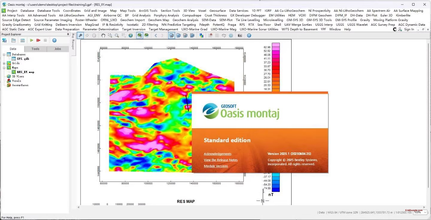
Oasis Montaj 2025: The Central Hub for Modern Geoscience Data Intelligence Oasis Montaj 2025 is the industry-standard, integrated software platform for managing, processing, visualizing, and interpreting large, complex geoscience datasets. Developed by Seequent (a Bentley Systems company), it serves as the foundational work environment for geoscientists, geophysicists, and exploration professionals worldwide. This latest version consolidates diverse data types—including airborne and ground geophysics, geology, geochemistry, drilling, and GIS—into a single, powerful project database, enabling sophisticated analysis and decision-making for mineral exploration, environmental assessments, and resource definition. Core Philosophy: Unified Data Management for Confident Interpretation The platform’s core strength is its robust project database that breaks down data silos. By integrating disparate datasets with precise spatial (location) control, Oasis Montaj allows geoscientists...