Other Engineering Page 21
Other Engineering

Virtual Surveyor 9.7 is a recent version of Virtual Surveyor, a smart drone surveying software developed by Virtual Surveyor NV (based in Belgium). It’s designed for processing UAV (drone) data, LiDAR point clouds, and aerial imagery to generate accurate topographic models, volume calculations, cut/fill maps, and CAD-compatible outputs. The software streamlines workflows for industries like mining, quarrying, construction earthworks, stockpile inventory, water management, and waste management. It creates lightweight 3D CAD models from drone datasets, allowing users to perform virtual surveys without extensive fieldwork. Virtual Surveyor 9.7 builds on the 9.x series, emphasizing enhanced performance, stability, and user experience for geospatial analysis. It supports end-to-end workflows: importing drone photos or orthomosaics, generating digital surface models (DSMs), and exporting to CAD...
HSPiP 6.1.02 is the current version of Hansen Solubility Parameters in Practice (HSPiP), a specialized software package developed by Steven Abbott and collaborators for predicting and analyzing the solubility, dispersion, diffusion, and compatibility of materials—particularly polymers, solvents, nanoparticles, and chemicals—using Hansen Solubility Parameters (HSP). HSP theory breaks down solubility behavior into three components: dispersive (δd), polar (δp), and hydrogen-bonding (δh) energies, allowing users to model interactions quantitatively (e.g., via the relative energy difference, RED, where RED < 1 indicates good solubility). Key Features Datasets: Includes extensive databases like the official solvents dataset (with experimental HSP values and thermochemical data), the “10K” solvents dataset (YMB-based calculations for ~10,000 chemicals), and polymer databases for commercial materials. Tools and Modules: Solvent Optimizer: Identifies...
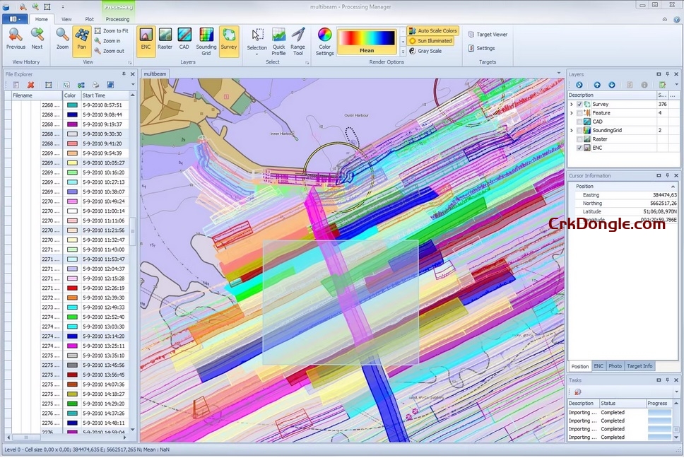
Teledyne PDS 2025 is the latest iteration of Teledyne PDS®, a versatile multipurpose software platform developed by Teledyne Marine for marine data acquisition, processing, and visualization. It supports a broad array of applications in hydrography, dredge guidance, construction support, search and recovery operations, and port entrance monitoring. Optimized for integration with Teledyne Marine sensors (e.g., multibeam echosounders, sidescan sonars, and LiDAR systems) and third-party equipment, PDS enables real-time data visualization, quality control, and 3D modeling. The 2025 version builds on the 64-bit architecture introduced in prior releases, emphasizing enhanced performance, expanded sensor compatibility, and workflow efficiencies for handling large datasets in challenging marine environments. It is available as off-the-shelf software, with options for customization, and requires no dongle for basic...
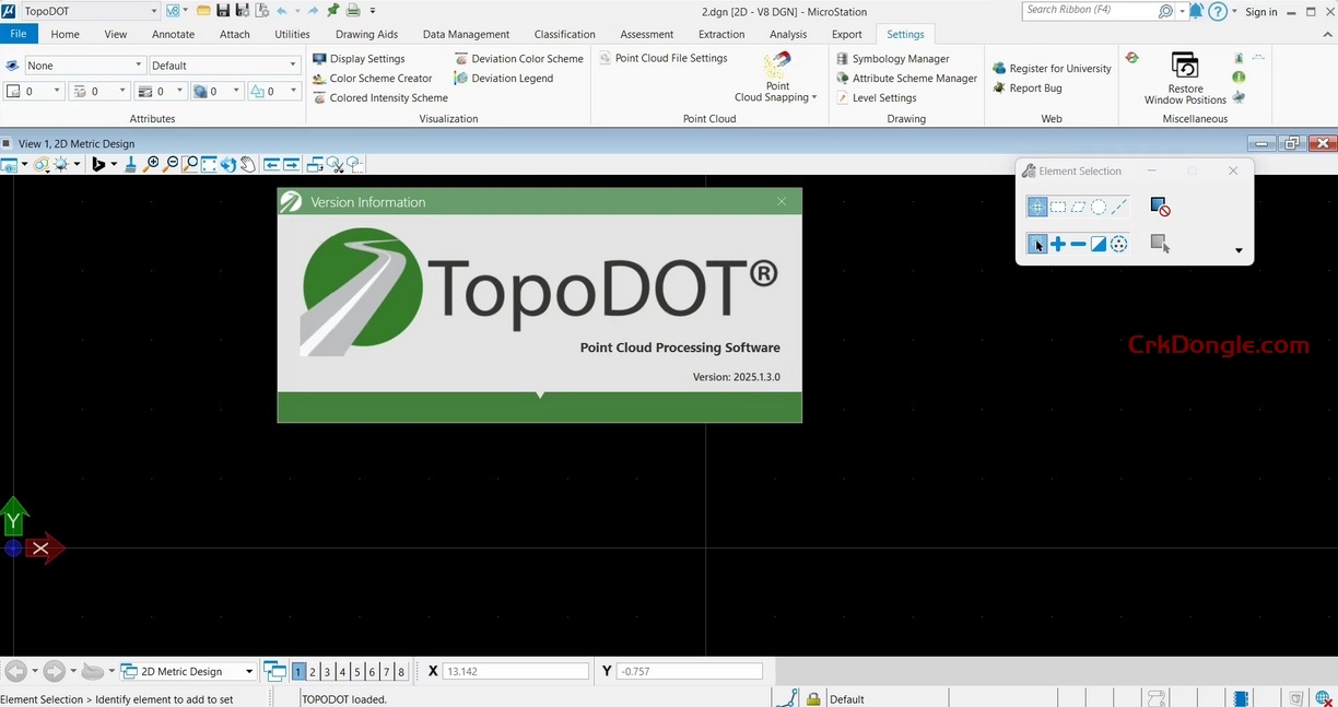
TopoDOT 2025.1 is the latest release of TopoDOT®, a leading point cloud processing software developed by Certainty 3D. This CAD-based application specializes in extracting high-quality topographic models, 3D structures, GIS assets, and digital twin deliverables from LiDAR and other geospatial data, particularly for civil engineering, transportation (road and rail), infrastructure, and utility projects. It emphasizes a balance between automation and quality control to streamline workflows, from data assessment to governance and reporting. TopoDOT supports integration with tools like AutoCAD and offers processes for handling massive datasets, such as those exceeding 1 billion points, on suitable hardware (e.g., i7 processors with 32GB RAM and NVIDIA Quadro GPUs with 4GB VRAM are often sufficient, though desktops may perform better for intensive tasks)....
HYPACK 2025 refers to the latest version of HYPACK®, a leading hydrographic surveying and dredging software package developed by HYPACK, a Xylem brand. Since 1984, HYPACK has provided tools for survey design, data collection, processing, and analysis, supporting over 400 sensors and serving more than 10,000 users worldwide. The 2025 release introduces new features, enhancements, and quarterly updates to improve functionality in areas like multibeam processing, ADCP data handling, and TIN modeling. Key New Features and Updates in HYPACK 2025 Based on official announcements and webinars, HYPACK 2025 includes improvements such as: Enhanced TIN Model capabilities for better terrain modeling. Updates to MBMAX64 for multibeam sonar data processing. Refinements in ADCP Profile tools for current measurement accuracy. Bug fixes and...
Ansys Systems Tool Kit (STK) is a physics-based digital mission engineering software for modeling, simulating, and analyzing complex systems across aerospace, defense, telecommunications, space, and maritime domains. It enables users to create time-dynamic 3D scenarios involving platforms (e.g., satellites, aircraft, ground vehicles, ships), sensors, communications, and environments, supporting mission planning, performance evaluation, and system-of-systems integration. Released in late 2024 (aligned with Ansys 2024 R2), 12.10.0 focuses on stability enhancements, bug fixes, and minor refinements to core capabilities like trajectory propagation, sensor modeling, and API integrations, building on the foundational features of the 12.x series without introducing major new modules. As of September 2025, the current major release is 2025 R1 (STK 12.12+), but 12.10.0 remains supported for production use via...
PREEvision V10 is a major release of the PREEvision software suite, developed by Vector Informatik GmbH, a comprehensive model-based systems engineering (MBSE) tool for electrical/electronic (E/E) architecture design in automotive, medical, railway, and industrial applications. PREEvision supports the full Requirements-Functional-Logical-Physical (RFLP) development process, enabling holistic E/E systems engineering from early concept to wiring harness production. V10 focuses on advanced communication design flexibility, bridging signal-based and service-oriented architectures, and enhancing integration between AUTOSAR Classic and Adaptive platforms. It builds on V9.x with improved usability, performance, and support for diverse bus technologies (e.g., CAN, FlexRay, Ethernet, SOME/IP). As of September 2025, the current major series is V10.x (with updates up to 10.16), making V10.0 a foundational release for modern software-defined vehicles (SDVs)...
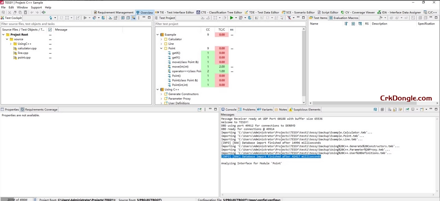
TESSY 5.1.9 is a patch release in the TESSY 5.1 series, developed by Razorcat Development GmbH, a leading tool for automated unit, integration, and component testing of embedded C and C++ software in safety-critical applications. TESSY is qualified for standards like ISO 26262 (up to ASIL D), IEC 61508 (up to SIL 3), and DO-178C, with TÜV certification. The major 5.1 release was announced in October 2023, focusing on enhanced usability, code analysis, and CI/CD integration. Patch versions like 5.1.9 typically include bug fixes, stability improvements, and minor enhancements without introducing major new features, building on the core 5.1 capabilities. As of September 2025, 5.1 remains the current major series, with ongoing patches available via the Razorcat customer portal. Key...
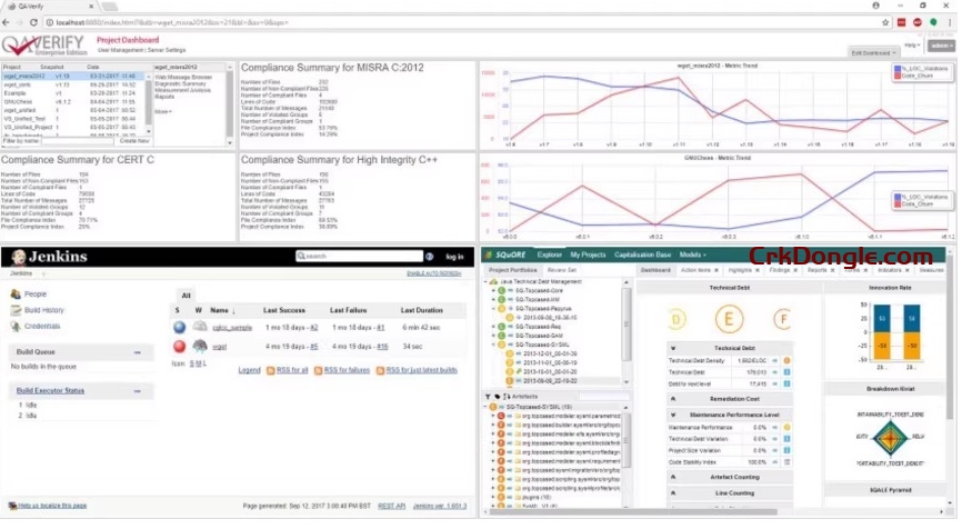
Helix QAC 2025.2 refers to the 2025 release series of Perforce QAC (formerly known as Helix QAC), a leading static code analysis tool for C and C++ developed by Perforce Software. Originally launched in 1986 as QA·C by Programming Research Ltd. (PRQA), it was rebranded under the Helix umbrella after Perforce’s acquisition and fully transitioned to the Perforce QAC name starting in 2025.2. This tool is widely used in safety-critical and regulated industries like automotive, aerospace, medical devices, and nuclear, where it enforces coding standards (e.g., MISRA, AUTOSAR) and functional safety norms (e.g., ISO 26262, IEC 61508). It’s certified by TÜV SÜD for these standards and holds ISO 9001 | TickIT plus certification. The 2025 releases emphasize enhanced compliance, CI/CD...
MEscopeVES v23+ MEscopeNXT 23.0 Standalone activation version MEscopeVES MEscopeNXT Analysis Observation Records Mechanical structure operation mechanical noise and vibration software package MEscope is a software package and add-on (Model 011136) that enables easier acquisition, analysis, observation, and recording of noise and vibration in mechanical structures and operating machinery. Its powerful ODS and modal analysis technologies provide cost-effective solutions for complex noise and vibration challenges. Our flagship software MEscopeVESV23 utilizes industry-leading 3D animation models, video tools, and post-processing capabilities to transform data into actionable insights. MEscopeves V23 serves diverse engineering tasks including vibration/acoustic data acquisition, Operational Modal Analysis (ODS), Experimental Modal Analysis (EMA), Operational Mode Analysis (OMA), vibration-acoustic animation, vibration/acoustic signal processing, MIMO modeling/simulation, Structural Dynamics Modification (SDM), and Finite Element...
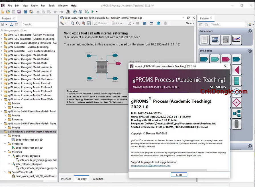
PSE gPROMS Suite 2023 x64 Process Simulation and Optimization Design Platform PSE gPROMS ModelBuilder gPROMS Process Academic Simulation Modeling Tool The PSE gPROMS Suite is a powerful process simulation and optimization design platform 060899, delivering leading-edge process simulation capabilities and robust modeling technologies. Its advanced simulation engine and comprehensive design tools enable users to quantify process design and operations in unprecedented ways, driving revenue growth while reducing capital and operational costs. The integrated simulation environment and sophisticated modeling system ensure precise process replication with enhanced accuracy, offering advanced features that optimize both equipment dimensions and operational procedures. This solution not only significantly shortens design cycles but also delivers long-term cost savings throughout the plant’s lifecycle. gPROMS PSE gPROMS Suite 2023...
TracePro 25.3 is an industry-leading optical engineering software developed by Lambda Research Corporation (now part of Altair Engineering). It specializes in illumination design, analysis, and simulation using Monte Carlo ray tracing techniques. The software is widely used for modeling light propagation in applications such as LED lighting, automotive interiors, headlamps, solar energy systems, imaging systems, and stray light analysis. It supports CAD import/export (e.g., STEP, IGES), 3D solid modeling, photorealistic rendering, luminance mapping, and optimization tools for lenses, reflectors, and light guides. Key Features of TracePro 25.3 Ray Tracing and Simulation: Accurate Monte Carlo simulations for non-sequential and sequential ray tracing (introduced in version 24.3). Analysis Tools: Illuminance/irradiance mapping, polarization effects, stray light analysis, and solar utility for geographical simulations....
VGStudio MAX is an industrial CT and medical imaging 3D visualization analysis software developed by Germany’s Volume Graphics. Designed for medical diagnostics and industrial non-destructive testing applications, this software constructs 3D models from voxel data. It supports multi-modal image fusion including CT and MRI, delivers sub-pixel-level precision processing capabilities, and can handle terabyte-scale massive data. The software’s core functionalities include geometric segmentation, grayscale analysis, STL model optimization, and 3D animation production, with integrated modules for wall thickness analysis, porosity detection, and fiber orientation measurement. It supports CAD data comparison, automated batch processing, and macro command operations, enhancing inspection efficiency through “region of interest” templates. Its 64-bit architecture is compatible with high-performance workstations, offering multilingual interfaces and dongle-based authorization modes, making...
QPS Qinsy 9.7.6 is a hydrographic survey software designed for survey planning, acquisition, and real-time data processing, supporting applications like pipeline placement, dredging control, and offshore construction. Released on March 10, 2025, this version primarily includes bug fixes and two driver changes. QPS Qinsy 9.7.6 is a comprehensive hydrographic survey software designed for efficient survey planning, real-time data acquisition, and processing. Below is an overview of its key features: Survey Planning: Enables creation and management of survey plans with tools for route planning, waypoint management, and coverage optimization, supporting applications like hydrographic surveys, pipeline inspections, and offshore construction. Real-Time Data Acquisition: Supports a wide range of sensors, including multibeam echosounders, singlebeam echosounders, side-scan sonars, and positioning systems, for seamless data...
HA-Pro is PHA and HAZOP software that helps companies easily conduct risk research and achieve more agile and efficient business processes. PHA-Pro, currently at version 8.0, is a highly efficient and flexible process hazard analysis tool that delivers significant ROI and substantial value for your organization. For the process industry sectors including oil & gas, chemical, and pharmaceutical industries, PHA-Pro enhances operational uptime optimization, reduces downtime, and minimizes the likelihood of adverse incidents. The PRO-Pharma provides industry-standard templates for the following: 1) Hazard and operability-HAZOP 2) If/Check List 3) Initial hazard analysis-PrHA 4) Protective layer analysis-LOPA 5) Target safety integrity level-SIL 6) Hazard analysis and Critical Control Points-HACCP 1. Features Follow the regulations-PHA-Pro is designed to help your company develop...
ProSightPC v4.1.22 Perfect Activation Version ProSightPC Mass Spectrometry Data Identification and Characterization of Proteins and Peptides Analysis Software Thermo ProSightPC Thermo ProSightPC is a software tool for protein and peptide identification and characterization in mass spectrometry data, It processes large datasets from MS/MS experiments (or any MSn experiments) involving intact and digested proteins. The software supports the ProSightPC delta-m (Δm) mode and utilizes its database search capabilities in UniProtKB XML and flat files. requires thermodynamic analysis software; for mass spectrometry data processing, please consult. ProSightPC V4 is a tool designed to identify and characterize proteins and peptides from mass spectrometry data. ProSightPC v4.1.22 processes large datasets from MS/MS experiments (or any MSn experiments) involving intact and digested proteins. For accurate...